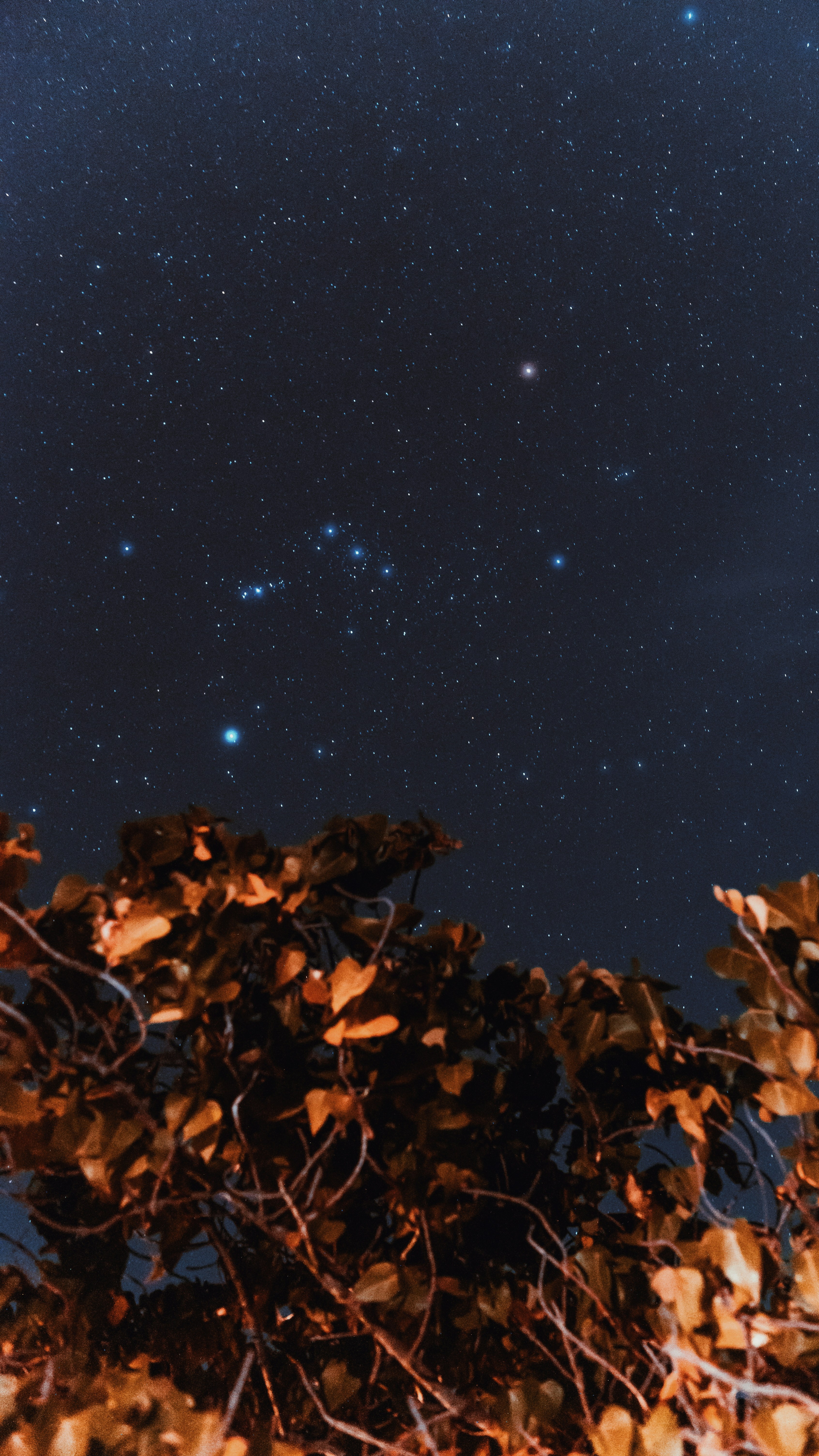
Your sky has a story.
Most of it is being told
in someone else's light.
Calibrated sky quality surveys for astronomers, ecologists, and the people still fighting to keep darkness where it belongs.

There was a garden in Herefordshire. On clear August nights, the Milky Way crossed it like a river.
My grandmother called it the Road of Stars. She could name the constellations without thinking — Cassiopeia first, then Cygnus, then the slow wheel of Perseus above the apple trees.
The retail park opened in 2009. By 2011, you couldn't see Perseus anymore. By 2015, the Milky Way had gone quiet. The road was still there in the atlas. But from the garden, it had been switched off.
That's when I started measuring.
Herefordshire, 2006
Before the lights came
SQM lost
−3.2
mag/arcsec²
What began as personal loss became ecological emergency
Artificial light at night has increased globally by 2.2% per year since 2012. In the UK's agricultural heartlands, that number is three times higher near new logistics parks and housing estates. The sky above a field in Worcestershire today is measurably darker than the sky above the same field will be in five years — unless someone documents it now, while the baseline still exists.
UK light pollution growth
+6.7%
per year near new logistics corridors
Source: Light Pollution Science and Technology Institute, 2024
Ecological corridors vanishing
Barn owls require 8+ lux of darkness to hunt effectively. Floodlit warehouses within 500m of foraging corridors reduce hunting success by up to 43%.
ILP & EIA frameworks require evidence
Planning authorities increasingly cite ILP Guidance Note 01/21. Without pre-development baseline readings, objections lack quantitative standing.
Measurement makes it actionable
A calibrated sky quality reading transforms a subjective complaint into an evidenced objection. One number changes everything.
Get your baseline readingThe sky quality meter doesn't lie. One reading. One truth.
The Unihedron SQM-L measures sky brightness in magnitudes per square arcsecond — the same unit professional observatories use. At 21.4, you can see the Milky Way in full structure. At 19.1, you can't. The difference is 2.3 magnitudes. The difference in lumens reaching your field is nearly tenfold.
Each survey produces a geo-referenced data set: readings at cardinal points, at 45° elevation, and at zenith. Taken across a minimum of three hours, spanning astronomical twilight to midnight. Cross-referenced against cloud cover and lunar phase. Reproducible. Defensible in planning hearings.
Instrument used
Unihedron SQM-L
±0.1
mag accuracy
Readings per survey
40+
geo-referenced points
The Bortle Dark-Sky Scale
Hover to exploreRural
21.0 mag/arcsec²
M33 directly visible
Milky Way clearly visible with naked eye
The species that need darkness don't get a planning appeal.
Light pollution assessment isn't only about what astronomers can see. It's about what foraging corridors still exist, which species still navigate, and whether the evidence base for a planning objection can be defended in a hearing room three years from now.

−43%
hunting success
Barn Owl Hunting
Barn owls (Tyto alba) require near-total darkness to hunt by sound. Floodlit warehouses within 500m reduce hunting success by up to 43%, leading to territory abandonment within two breeding seasons.

−67%
commuting activity
Bat Corridor Disruption
Common and soprano pipistrelles avoid lit gaps in hedgerows. A single 40W LED streetlight reduces bat commuting activity by 67% within 25m, fragmenting foraging corridors across entire parishes.

4× more
mortality at lights
Moth Navigation Failure
Moths use lunar polarisation for navigation. Artificial light disrupts this entirely, causing fatal attraction spirals. A single lit building can trap and kill over 1,500 moths per night during peak emergence.
Legal Frameworks
Planning objections need quantitative evidence. Not opinion.
The ILP Guidance Note 01/21 on Obtrusive Light sets the standard for what planning authorities expect. An Environmental Impact Assessment that includes pre-development SQM baseline readings is materially stronger than one that doesn't.
ILP GN 01/21
Obtrusive Light — Limitations
NPPF §174
Protecting ecological networks
EIA Regulations
2017 — Environmental baseline
BS EN 12665
Lighting — Measurement standard
You're not buying a visit. You're buying a document that holds.
Every assessment produces a signed, reproducible report with geo-referenced SQM data, Bortle classification maps, photometric readings, and recommendations referenced to ILP Guidance Notes. Below are redacted examples from past surveys.
Geo-referenced SQM readings
40+ measurement points
Bortle classification map
Full sky hemisphere
Photometric data tables
Raw CSV + formatted
ILP compliance notes
Planning-ready language
Past Assessment Reports
Client locations redacted ← scroll →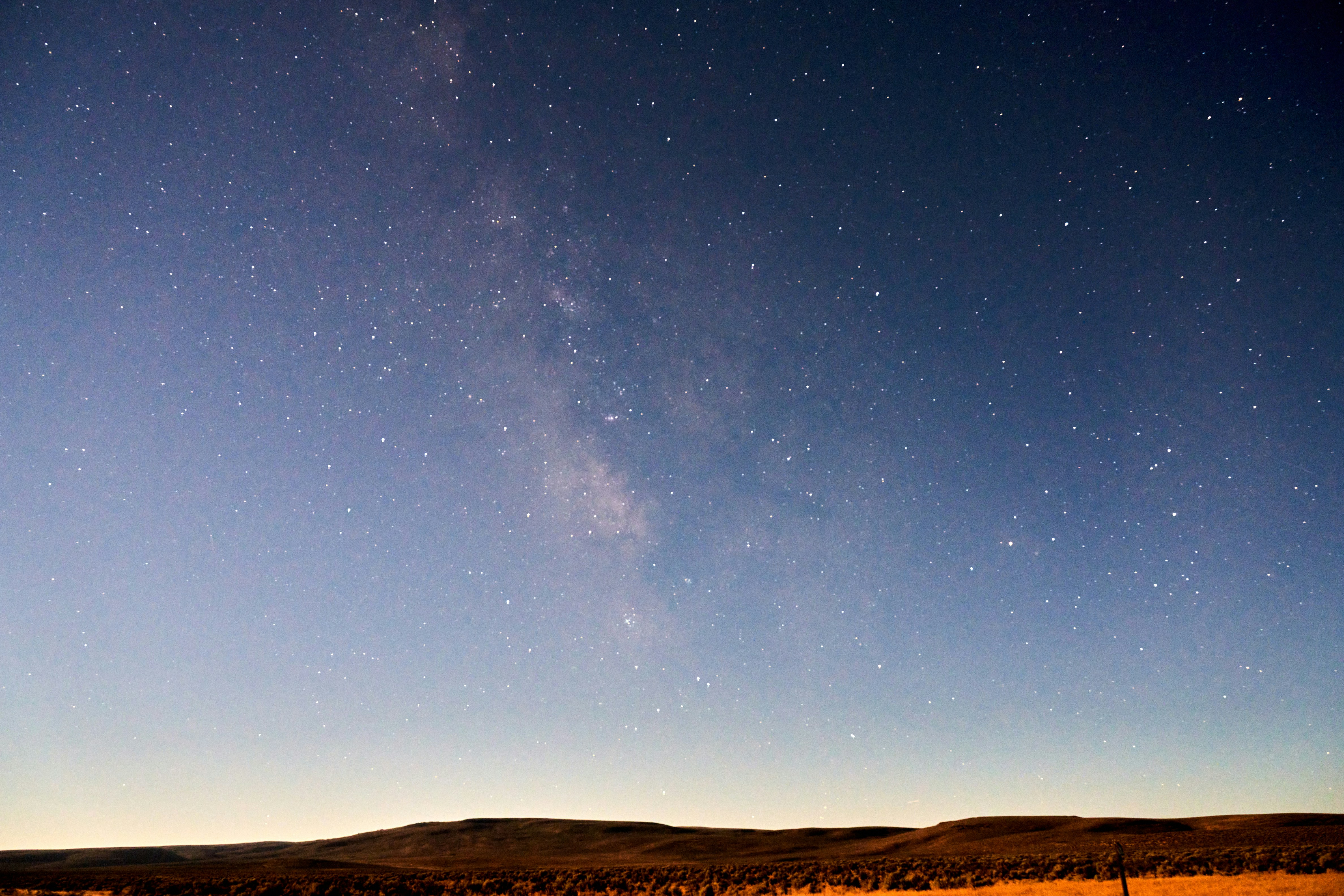
20.8
mag/arcsec²
Single Night Assessment
Nov 2024
North Yorkshire, Rural Estate
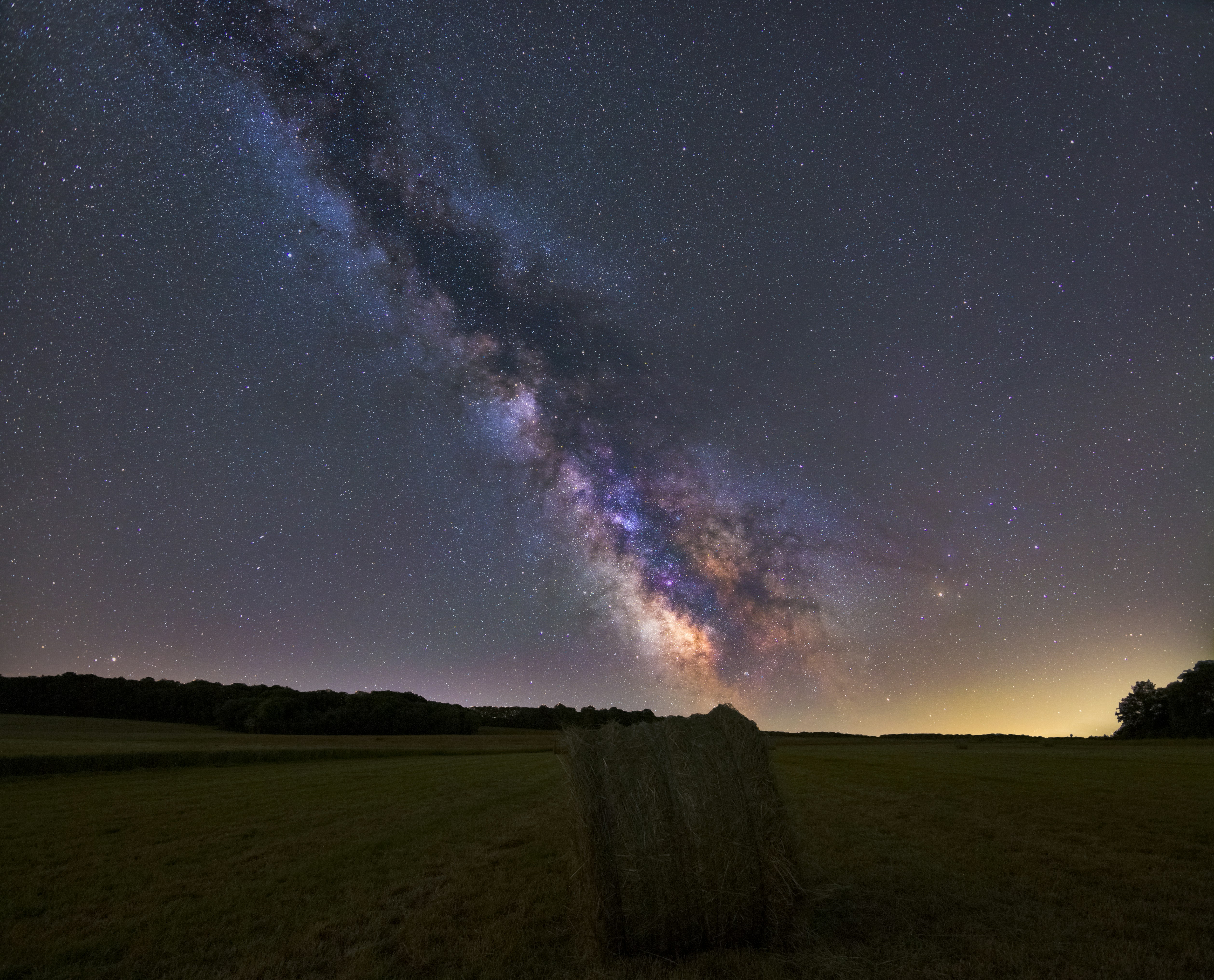
21.1
mag/arcsec²
Multi-Season Monitoring
Mar–Sep 2024
Shropshire Hills, Agricultural
19.4
mag/arcsec²
Planning Objection Bundle
Aug 2023
Worcestershire, Parish Council
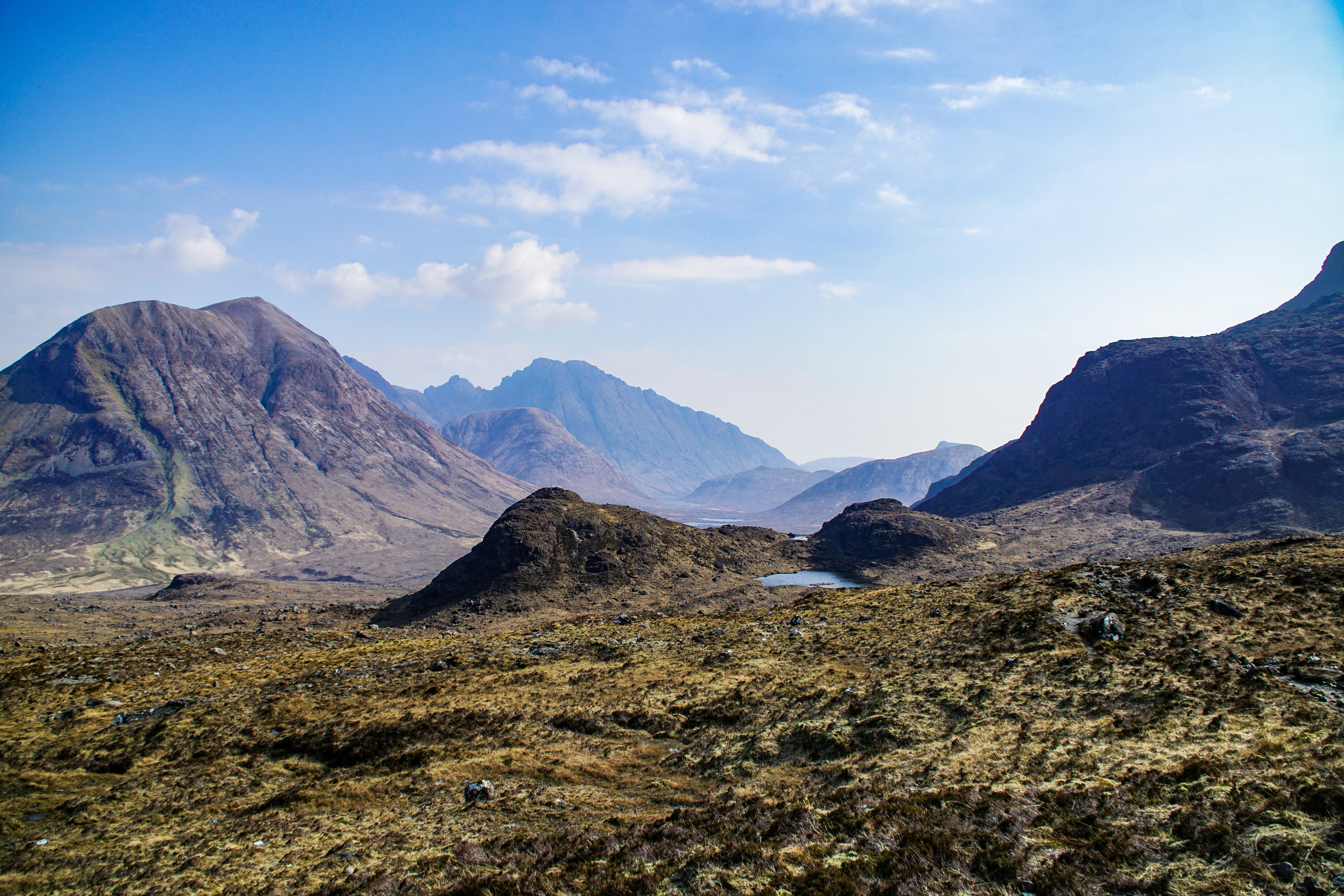
21.6
mag/arcsec²
Single Night Assessment
Jun 2023
Scottish Borders, Wildlife Site
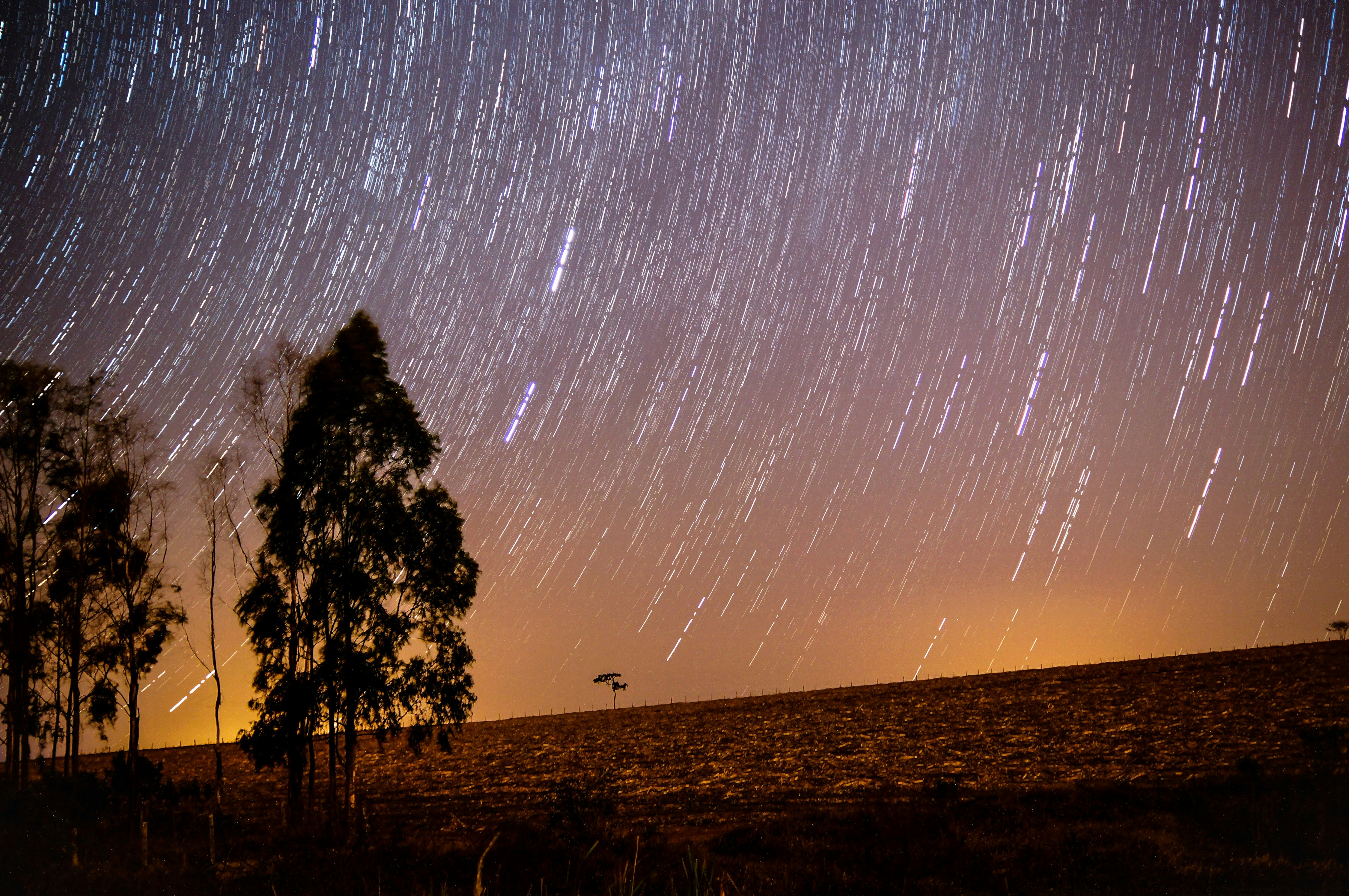
20.2
mag/arcsec²
Planning Objection Bundle
Dec 2022
Herefordshire, Astronomical Society
No hidden costs. Travel within 80 miles included.
All prices include travel within 80 miles of Hereford, equipment, report writing, and one consultation call. Surveys are scheduled around new moon windows to maximise data quality.
Single Night Assessment
One clear-sky night, calibrated SQM-L readings at 40+ geo-referenced points, full written report with ILP references.
- Minimum 3-hour observation window
- 40+ geo-referenced SQM readings
- Bortle classification + sky map
- Signed PDF report (20–30 pages)
- Raw CSV data file included
- Valid for 12 months in planning
Multi-Season Monitoring
Spring, summer, and autumn readings to document seasonal variation — the standard required for EIA baseline evidence.
- Three surveys across calendar year
- Seasonal comparison analysis
- Trend modelling against ALAN data
- Comprehensive 60+ page report
- Expert witness statement (optional)
- Unlimited planning use for 3 years
Planning Objection Bundle
One survey plus a structured planning objection report referencing ILP GN 01/21, NPPF §174, and local authority dark sky policy.
- Single night assessment included
- Planning objection report structure
- ILP & NPPF policy cross-reference
- Neighbouring site comparison data
- Solicitor-ready format
- One revision included
Travel beyond 80 miles: £0.45/mile. Survey rescheduled free of charge if cloud cover exceeds 30% on the night. VAT not applicable — sole trader.